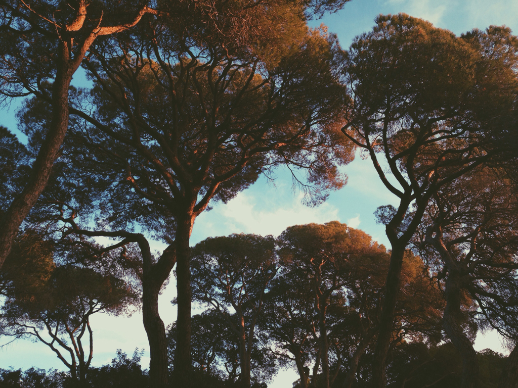
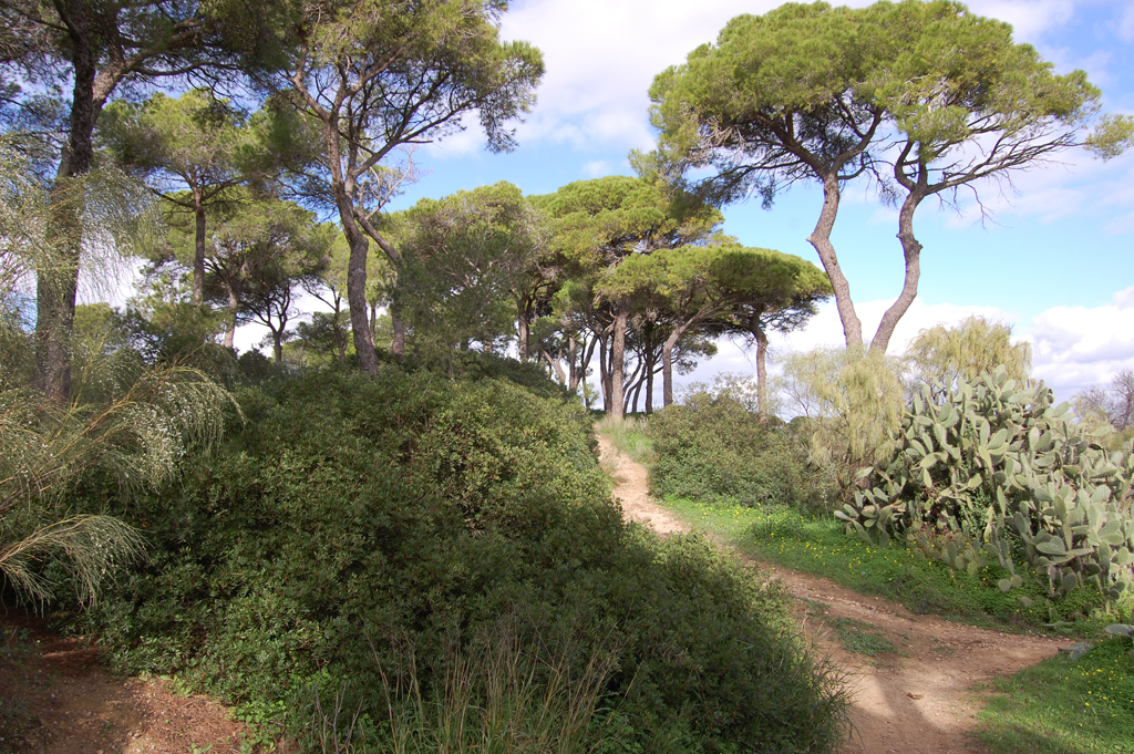
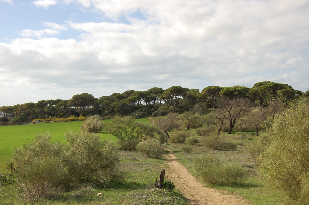
20 kilometers to introduce visitors to the Cañadas de Puerto Real Network.
This is a route of about 20 kilometers to introduce visitors to the Red de Cañadas de Puerto Real; its layout is chosen to suggest possibilities to the visitor, at each junction we will choose an option, but the rest of the possible routes are equally interesting.
The route starts and ends at Las Canteras Park, a traditional recreational area and green lung of the urban area of Puerto Real.
Route 1. Las Cañadas de Puerto Real Routes (20Km)

By bicycle it can be done in two hours with tranquility, on foot between four or five hours without many stops.
This is a route to introduce visitors to the Cañadas de Puerto Real Network; its layout is chosen to suggest possibilities to the visitor, at each junction we will choose one option, but the rest of the possible routes are equally interesting.
We start the route in front of Las Canteras Park, a traditional recreational area and green lung of the urban area of Puerto Real.
The starting point of the route is marked on Avenida de la Constitución, in front of Hotel Las Canteras.
From there, we will take Pablo Neruda Street and immediately turn right to cross the Pinaleta de María, next to the municipal swimming pool complex of Puerto Real, which gives us an idea of the original groves of this area of the city.
When leaving the pinaleta, we continue straight on towards Cedro Street; a few meters ahead, we will turn left onto Almendro Street, towards Olivar Street, which we will cross to go along Juan García Mondeño Street. To our left, in Juan García Mondeño, we can see the Pinaleta de Derki, another example of forest masses in the northern part of Puerto Real.


At the end of Juan García Mondeño, turn left to continue along Camino de los Barreros. The first stretch of the road is paved, just in the area of the neighborhood of La Marroquina: we are already in the Cañada Real del Camino de Paterna. We will continue ahead, already on a dirt track, leaving the houses on the right and the Pinaleta de Derqui on the left.
After about one kilometer we will find the A4 highway, under which we will cross through a small tunnel. At the exit we will have on our left the Cerro de Ceuta, which is what is called a diapir, an outcrop of Triassic clays and gypsum through much more modern Pliocene materials.
From very ancient times, and until the 20th century, clay has been extracted from here for pottery; in fact, at the top of the hill the remains of a Roman pottery from the 1st-2nd centuries AD have been discovered, and in the vicinity there are more deposits of this type, such as the Puente Melchor.
The prolonged extractions gave rise to the Barrreros, a deep sinkhole that can be seen on the face of the hill closest to the gully. Its bottom is usually full of water because the water table was reached when it was deepened, originating a small but interesting wetland.
The Cerro de Ceuta is a privileged vantage point overlooking the Bay despite being just over 50 meters high.
A kilometer further on, after finding abundant specimens of white broom and Andalusian thyme, among other species characteristic of the area, we will reach the Paterna road (CAP-2012), next to the El Caminero inn.
When we cross the road, we will continue straight ahead on a dirt road, without turning off onto the track marked “Liaño”. We are now on the Vereda del Camino Viejo de Paterna, since at the previous junction the Cañada Real del Camino de Paterna follows the direction of the road to the right.
As we advance we will see crop fields to the left and right behind the vegetation that frames the cattle route, and in less than two kilometers we arrive at the junction with the Cordel Tercero de Servidumbre.
Taking a left turn, we would reach some ventas next to the road to El Portal (CAP-2015), and from here we would reach the interesting pine forest of Dehesa de Las Yeguas. But our route continues ahead, through an almost completely flat landscape with farms such as Benadiel on the left and El Carpio on the right.
Among pines and Mediterranean scrub we will reach the Cañada Real del Camino Ancho, the most important of the cattle trails of Puerto Real that run from north to south, and a magnificent reference to orientate ourselves in the Parque de las Cañadas.
When we reach this junction we have to discard the first track – rather than firebreak track – that we find just before reaching the lush pine forest vegetation of the ravine, and take the second or third lane on the right. We can choose the one we like and follow it in a southerly direction without turning left or right, the only doubt may arise when we reach the access to the El Carvajal estate, which we will leave on our left.
After about a kilometer and a half on the Camino Ancho we cross the road to Paterna again, which we will do with great care because the cars are coming at high speed.
A little more than a kilometer ahead we reach the Cañada Real del Camino de Medina through Venta Catalana, where we can join the Ruta Amarilla, either straight ahead or to the left.
Taking the path on the right we have ahead of us a stretch of cattle track through which runs the Green Corridor of the Two Bays, so we can ride along the bike lane already enabled. There is at least one more lane on which we can travel, but with caution, because in this section, as in the previous one, cars are relatively frequent.
In the three kilometers that we travel until we reach the next junction, sunny areas alternate, where a varied scrub predominates, not very high but very tight, with shadier areas due to the tops of the pines, under which the mastic trees predominate.
When we reach the junction with the Cordel Tercero de Servidumbre, we can glimpse the Hospital Clínico in front among the pines. To the left we have Barrio Jarana at approximately one and a half kilometers, but the proposed route continues to the right.
After about four hundred meters we will see to our left a path flanked by pine trees that takes us to the pine forest next to the Hospital Clínico, and to the hospital itself. If we leave this road behind us we will see how the pine trees are diminishing until they become scarce at the junction with the road to Paterna.
After crossing it we will have to turn off about fifty meters to the left until we find the main lane of the Cordel Tercero. Along it, about five hundred meters from the road we will find a path that crosses perpendicularly and we will leave it behind, and another five hundred meters ahead we will reach the junction with the Vereda del Camino Viejo de Paterna, which we crossed from left to right at the beginning.
We will turn left to return by the same route we used on the way out.
If we want, instead of returning by the same route, we can take the opportunity to climb the Cerro de Ceuta and contemplate the landscape, as well as cross the Finca El Almendral and the Pinaleta Derki.
To do so, we will follow the road to Paterna about 300 meters to the right from the El Caminero inn until we find a road on the left side of the road that, after accessing some properties, climbs to the top of the hill.


