The tour can be complemented by a visit to the Trocadero Island, which must be arranged by prior arrangement and with express authorization.
We propose two different routes to discover the French presence in Puerto Real during the turbulent years of the first quarter of the 19th century. First, let’s give you a brief background.
During the 18th century Spain and France had forged a stable military alliance against a common enemy, the British Empire, for commercial and economic control in Europe, but also in the different colonial territories. The penultimate episode of this alliance took place in 1805 in the famous Battle of Trafalgar in which the British Empire inflicted a severe defeat on the fleets of both countries.
In spite of this, Napoleon (Emperor since 1804), was able to compensate in successive victories against the allies of the British at Austerlitz or Jena, so that from 1806 France imposed a trade blockade on the British that, in addition to French ports, reached other European ports, particularly Portuguese.
In October 1807, France and Spain signed the Treaty of Fontainebleu, which meant the joint invasion of Portugal, but which ultimately meant the effective invasion of the Iberian Peninsula by Napoleon’s troops and the successive abdications of Charles IV to his son Ferdinand VII and of the latter to Napoleon’s brother, Joseph Bonaparte.
The French invasion and the flight of Ferdinand VII triggered a fierce popular revolt that mobilized the army against the French enemy and started a war that led the government to take refuge first in Seville and, since 1809, in Cadiz, which suffered a brutal siege.
In this context, the French troops occupy the territory of Puerto Real on February 4, 1810, while the Spanish army commanded by the Duke of Alburquerque destroys bridges, barns, warehouses, batteries and everything in its path in order to slow down the French advance.
Puerto Real becomes, then, the limit between defense and attack in a guerrilla war that the French would end up losing three years later and that turned Puerto Real into the main quartermaster zone of the French army, which established camps in La Algaida and in the then Pinar de Enriles, today Los Franceses.
A few years later the city will again be the scene of war when in 1823, again, French troops take the Trocadero Peninsula and surrender the city of Cadiz to free Ferdinand VII, the same King who had betrayed the people who fought and defeated Napoleon’s troops for him and for freedom.
1. ROUTE OF THE DUQUE DE ALBURQUERQUE
The route starts at the Centro de Interpretación de la Cultura de Puerto Real where the visitor can discover the history of the city, from its first settlers to the 20th century, its traditions and culture. On the second floor of the building, visitors will find detailed information about the French invasion and the effects it had on the city and its inhabitants.
From the Interpretation Center, we head towards the sea following the Calle Ancha to reach the Fortified Pier, where there was a French battery that guarded both the coast and the road towards the Isla de León, and which is the work of the Cadiz architect Torcuato Benjumeda. This battery was complemented by the use that the French troops made of the Petit Torre, which they used as an observation watchtower, or the battery that was located in the Gallinero area.
From here, following the coastline eastwards along the ring road, we head towards the entrance of the Natural Park. At the last traffic circle, we take the dirt road towards the Natural Park. At this point, we find the Batería de Casines and the old Molino de Mareas del Pilar. It was a naval and terrestrial lookout post that protected the access road and where a military detachment was located, where, in addition, grain and food was supplied to the troops.
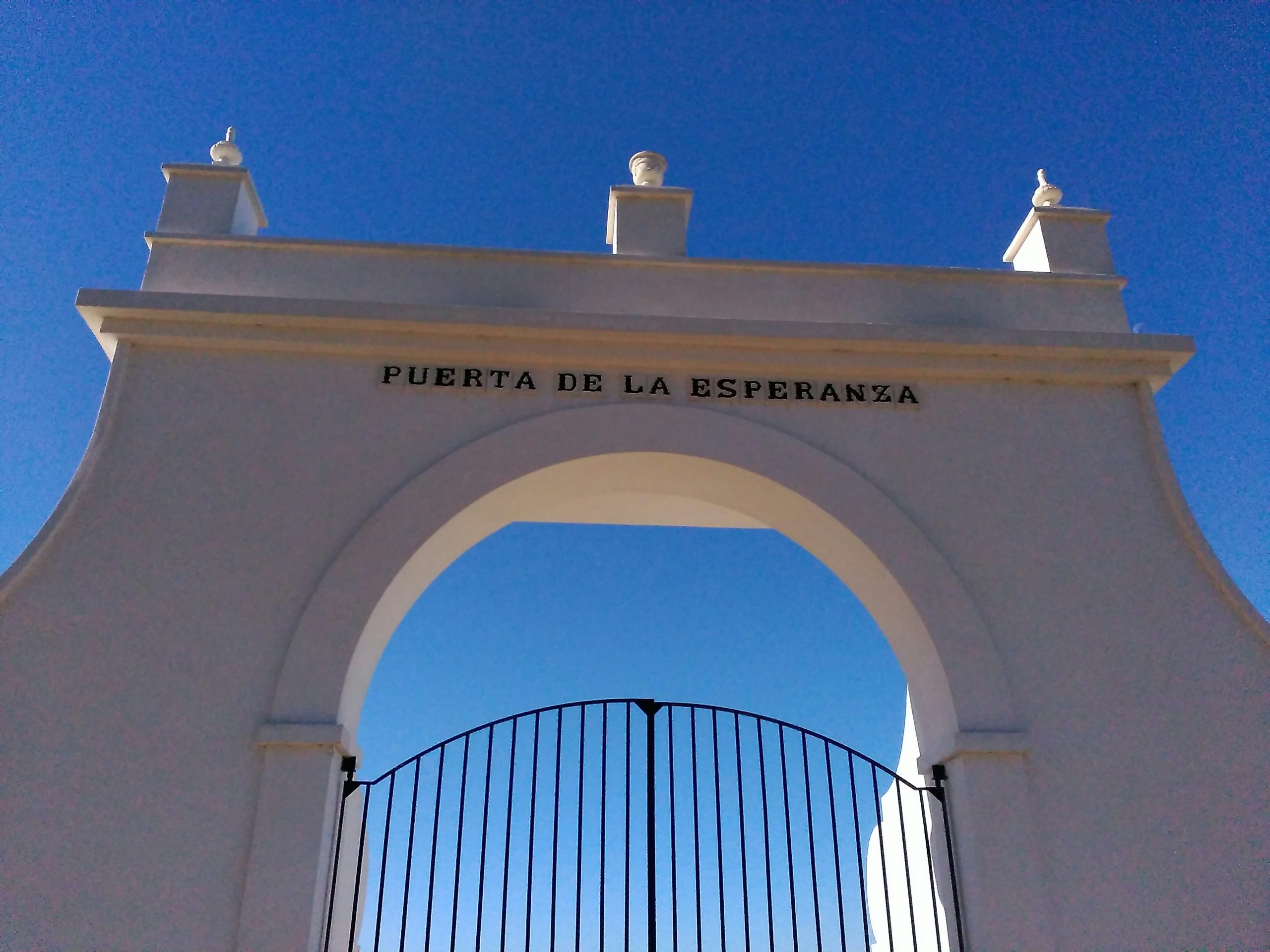
We continue our way parallel to the railroad track to the next milestone on our route, the Salina de La Esperanza, a fossilized salt landscape that served as a front in the guerrilla war against the French and was of little use for organized combat. The French carried out extensive mapping of the salt environment to avoid surprise attacks by Spanish guerrillas. Faced with the difficulties posed by the maritime environment, since vessels of any size were sunk by French cannons, the salt marshes and estuaries provided the population with food.
The route continues parallel to the railway track through a landscape that follows the route of the troops of the Duke of Alburquerque in their retreat to the Isla de León.
The next landmark on our way is the Arsenal of La Carraca, currently in the municipality of San Fernando, but in the nineteenth century was part of the naval facilities of Puerto Real. In its time, in addition to serving as a refuge for a large part of the population of Puerto Real, it played an important role in the defense of the Isla de León and the city of Cádiz, as it was fortified with the batteries of San Fernando, San Ramón and Santa Rosa.
La Carraca was the Navy’s base and its main arsenal, and was defended by Spanish and British troops, despite the mistrust of the former, who distrusted the British soldiers, whom they suspected of dedicating their time to defense, but also to intelligence tasks.
From La Carraca we head back to the path parallel to the railway and, from there, we cross some streets of the urban area of San Fernando towards the Suazo Bridge and our last stop on this route, the Real Carenero.
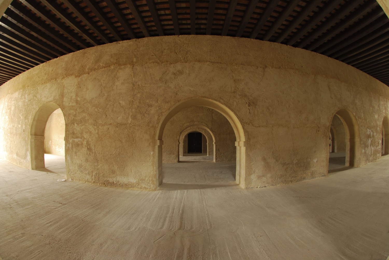
The scenario of the Real Carenero is of vital importance in the history of the siege of Isla de León by the French troops. In his flight, the Duke of Alburquerque destroyed passes and bridges, slowing the advance of Marshal Victor’s French troops and confronting them in an area of marshes and canyons that offered him an advantage, so much so that the French troops tried to take the Isla de León by bayonet.
The defense was effective and finally, in the area of the battle, a battery was established, the Portazgo, which was defended by about 150 armed men who resisted the attack and were finally supported by British troops.
You can return to the center of Puerto Real following the same route, or if you wish, you can extend this route with the next route, the Ruta de La Frontera.
2. BORDER ROUTE
This is a route that can be done in two directions, either from the center of Puerto Real, or in the opposite direction from the Real Carenero. In both cases, it travels mainly along roads, although at some points it crosses paved roads where extreme caution should be exercised.
The two routes combined, the Duque de Alburquerque and La Frontera, add up to 37 km in total.
As in the previous case, the first stage (if the route is done from the center of Puerto Real) starts from the Cultural Interpretation Center and from there to the Fortified Pier. Following the promenade we take the direction of Sagasta Street towards the Jardines del Porvenir.
This romantic garden, included as BIC in the General Catalog of Gardens of Andalusia, was opened to the public in 1872 and remodeled in 1885. It is an enormously valuable space within the urban fabric of the city, not only because of its age, but also because of the great variety of trees and ornamental shrubs it contains. In the surroundings there is an old travelers’ inn from the 17th century, the Posada de Bello, remodeled at the end of the 20th century, and the Caja del Agua.
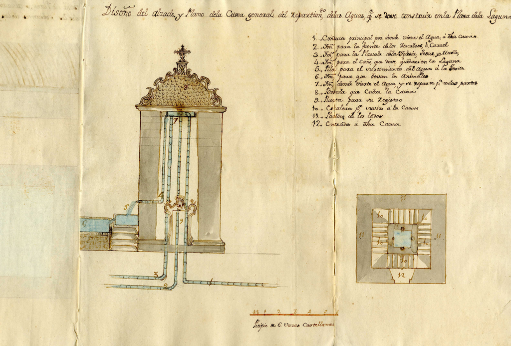
The Caja del Agua, dating from 1780, is the work of Antonio Ruiz Florindo and is located in the area traditionally known as La Laguna, one of the entrances to the Villa and cradle of the most representative flamenco palo of the city, the liviana. It is part of the system for bringing water to Puerto Real, some years before those of Cadiz or Malaga. It is a vaulted cube with attic niches decorated with Triana tiles depicting the patron saints of Puerto Real in the late eighteenth century: San Roque, San Sebastian and the Virgen del Rosario.
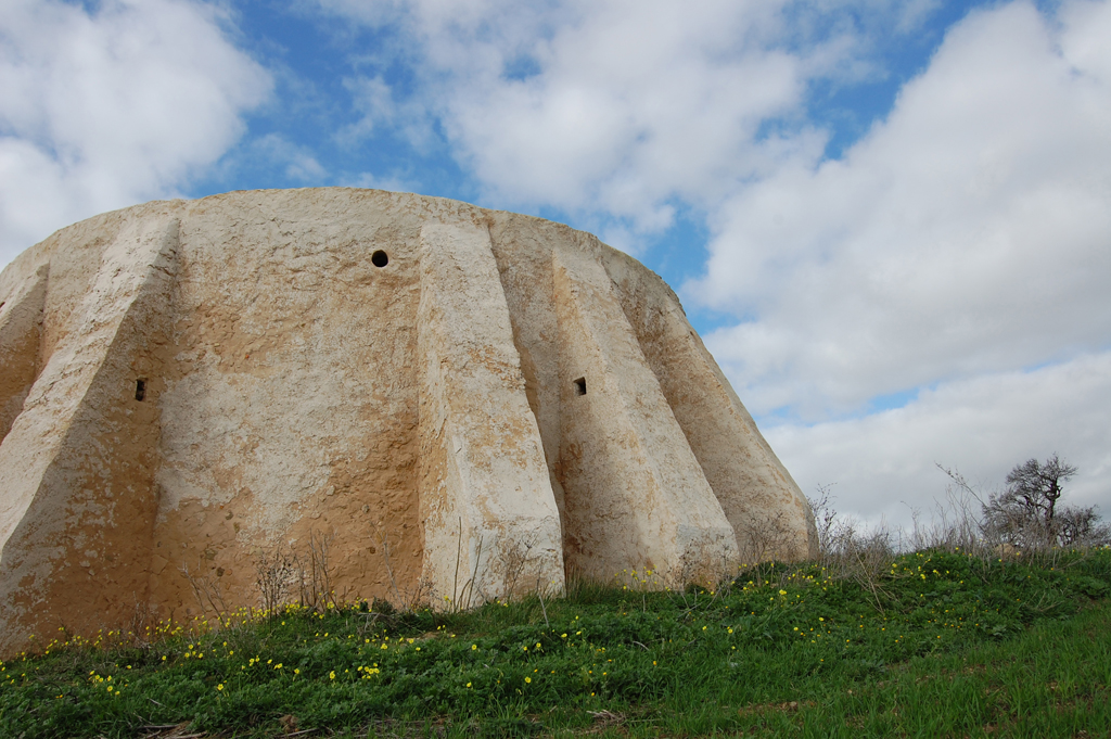
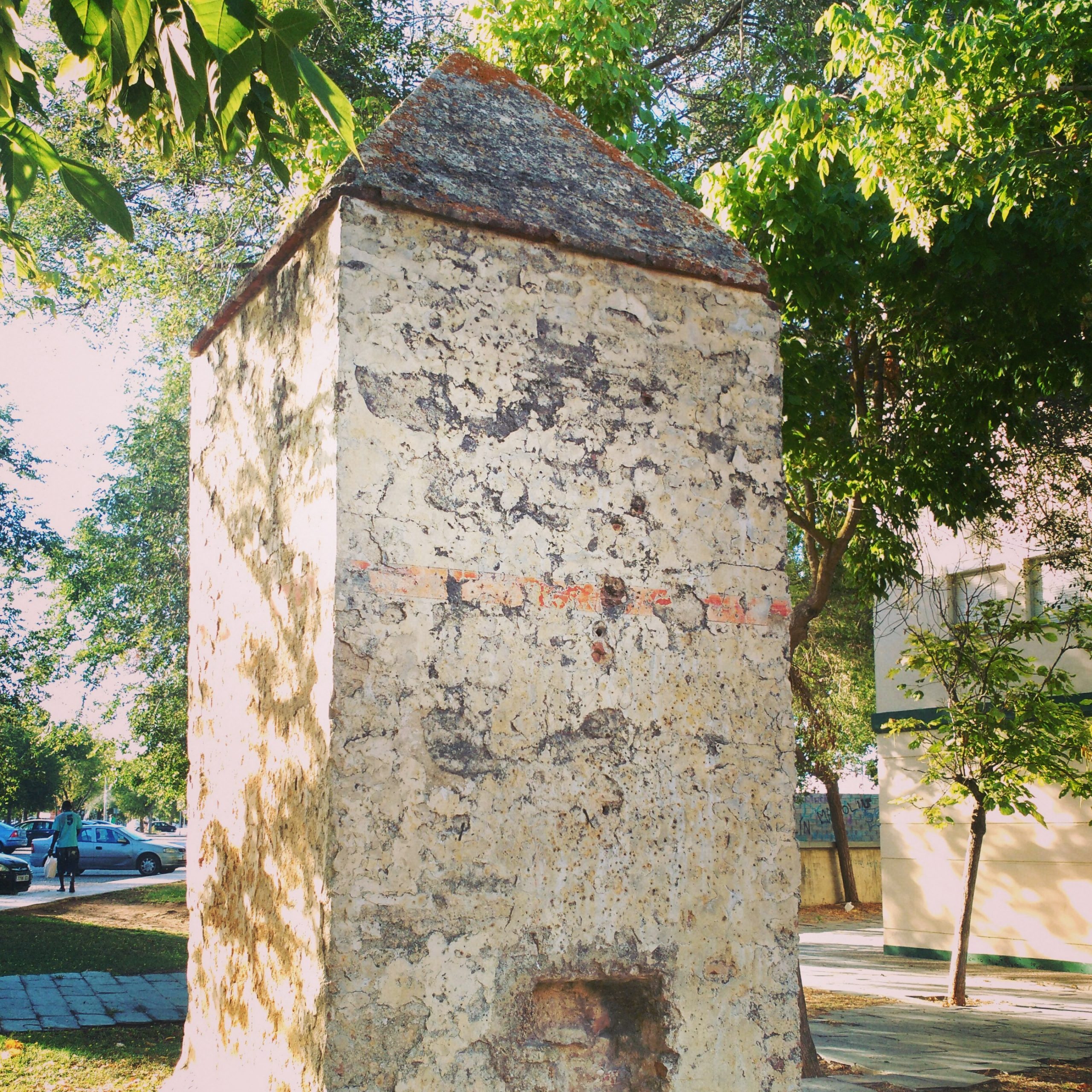
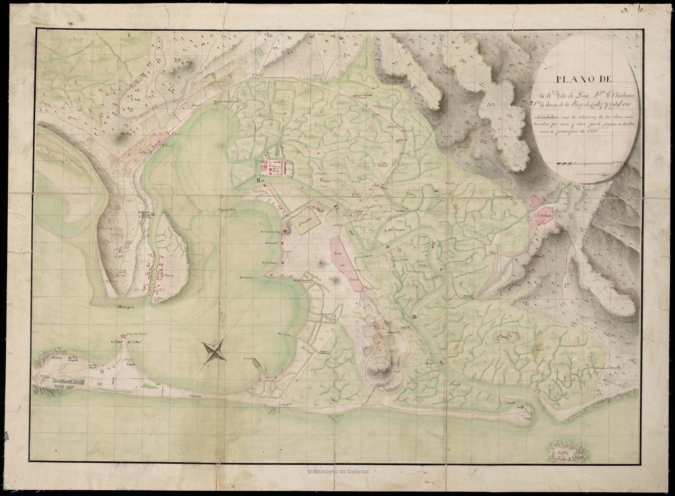
From there, parallel to the Paseo de Andalucía, we take the direction towards Camino de Los Barreros and enter the dirt road. To our left we find the Noria and the Fortified House of Autrán, dated 1760 and owned by the French shipbuilder Ciprián Autrán, it was occupied and fortified in 1810 by the French army during the War of Independence. The mill waterwheel attached to it, also from the 18th century, was used as a defensive watchtower.
At the end of the dirt road, we find ourselves at the traffic circle that gives access to the Puerto Real University Hospital. We take the direction towards the hospital and at the entrance traffic circle we head towards Romería street following the route of the bike path that, from there, heads towards Barrio Jarana. The road we will follow is the route of the Arrecife, which coincides with the Via Augusta and on which there are several Roman sites and along which numerous French batteries were established.
Following the Arrecife road, we reach the Meadero de la Reina and head east along a dirt track that leaves the Natural Park of the Bay of Cadiz and the Ossio salt mine on the right, where there is an old tide mill, the Ossio mill, which was also used by the French army as a military installation.
When the dirt road ends, we head south, initially parallel to the CA-2104 and then enter the countryside along Calle Los Arquillos on a dirt road. Just at the point where the trail ends, we can see the remains of one of the arches of the Roman Aqueduct that transported water from Tempul to Gades.
From this point we enter the municipality of Chiclana, where we will be until the end of the route, the Real Carenero. The name Chiclana de La Frontera refers to the border with the Muslim kingdom of Granada during the reconquest. However, Chiclana and Puerto Real became the border between the territory occupied by the French troops and the Spanish defense of the Island of Leon and Cadiz.
To our right is the so-called Pinar de Los Franceses, originally Enriles, where the French camp was located and which was the scene of one of the decisive battles of the War of Independence, the Battle of Chiclana.
In our main route, we follow the route of Los Arquillos Street towards the urban center of Chiclana. On our way we will find two traffic circles, the first one at the height of the Puerta de Chiclana Shopping Center, we take it towards the urban center of Chiclana. The second, on the N340. At this point we must cross the streetcar line that connects San Fernando with Chiclana de la Frontera and head, parallel to the Natural Park, northwest towards Real Carenero, the end of our journey.


