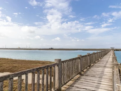
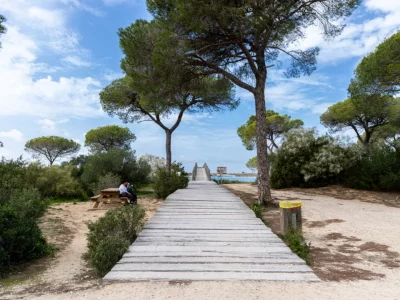
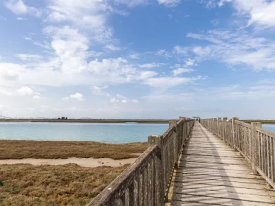
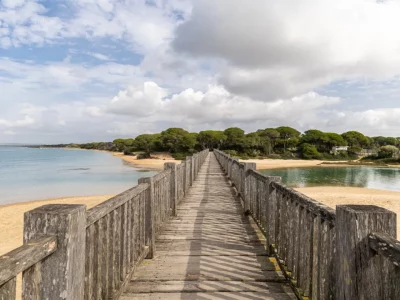
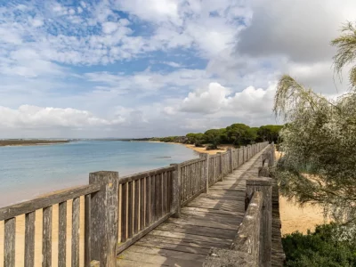
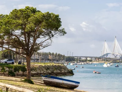
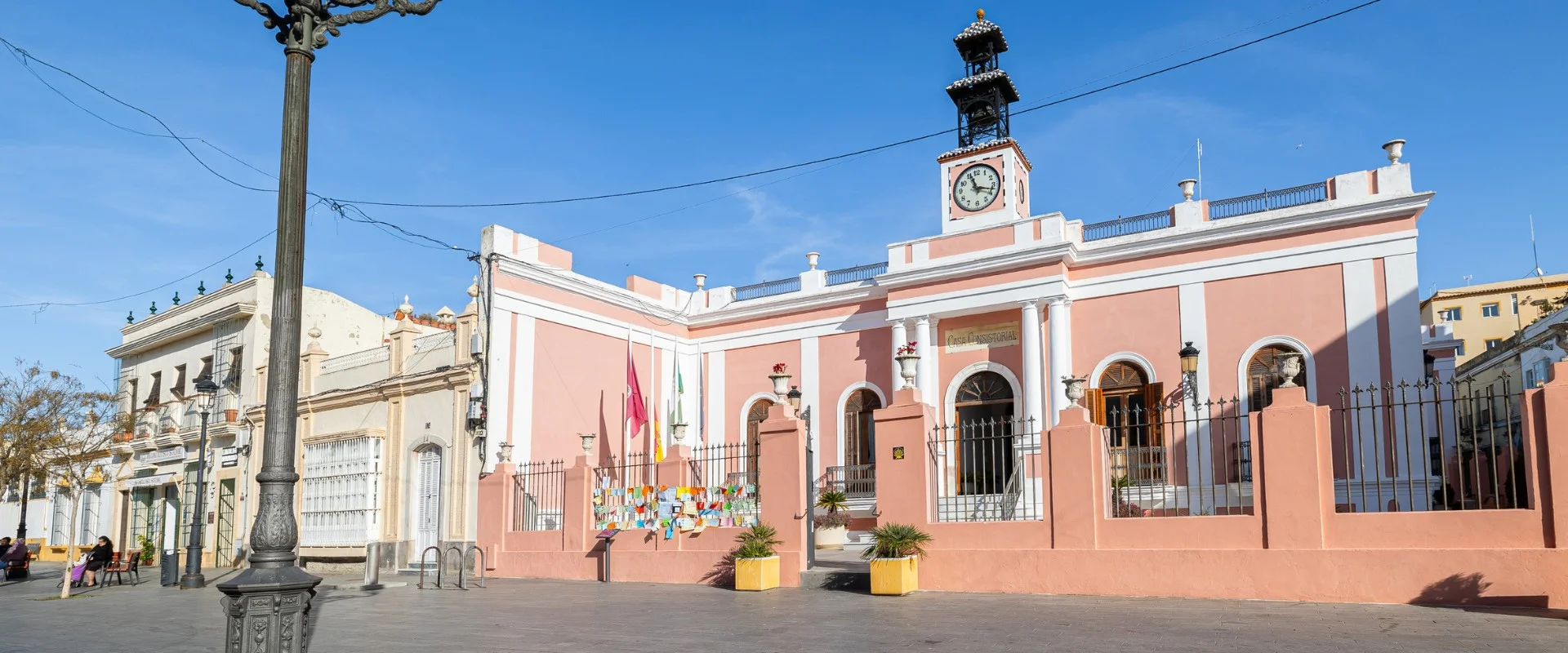
Artificial pipe made for military and defensive purposes. Excavated as a transverse moat that joins the waters of the San Pedro river with those of the Trocadero channel, turning the Trocadero peninsula (also called Matagorda) into an island. Throughout the years it has been known by different names: San José pipe, San Pedro River pipe, new pipe of Las Damas or, in recent decades, popularly known as the Minister’s pipe.
The director of the works was the military engineer José Autrán Díaz de Barcenilla from Puerto Rico. The works began in September 1812, after the withdrawal of the Napoleonic troops that had been besieging the city of Cádiz from their camp in La Algaida for more than two years, and were completed in July 1813. With a little more than one kilometer in length, the initial plan was for it to be 80 meters wide and 5 meters deep.
For its construction, more than a thousand people were employed daily, both French prisoners and salaried workers from the surrounding towns and cities.
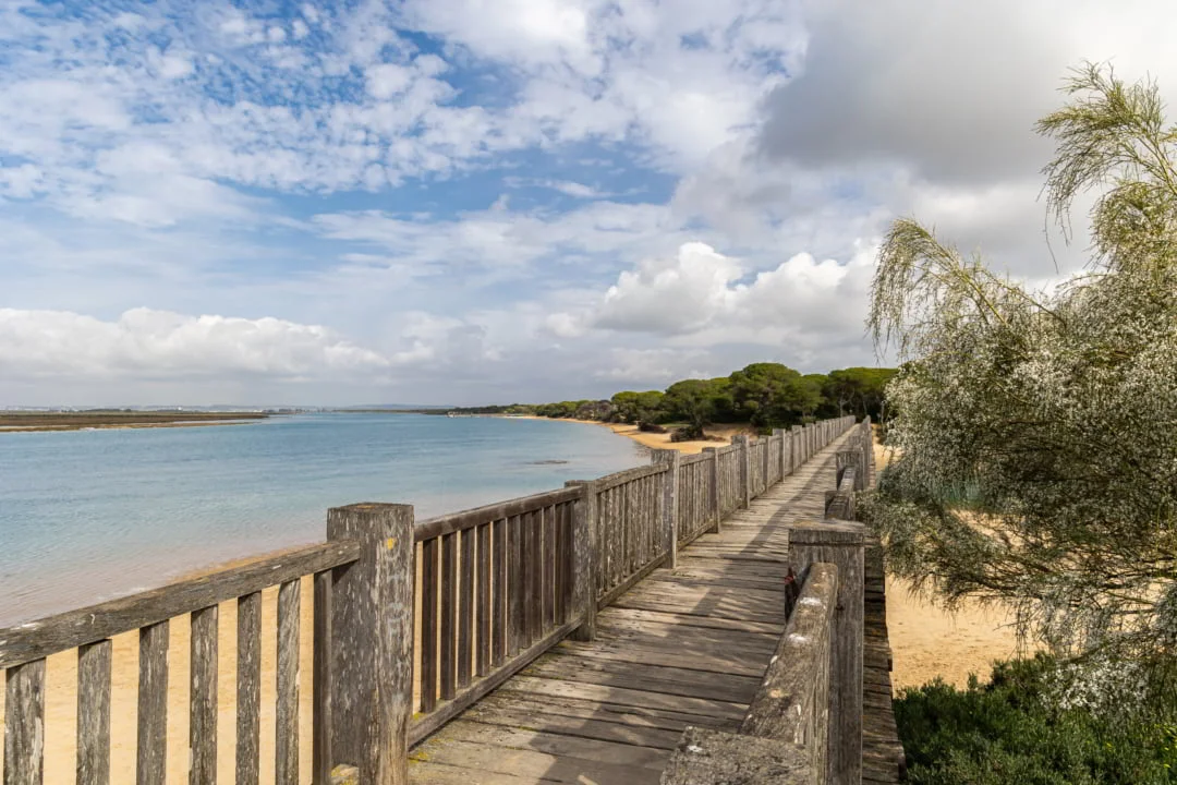
The Caño de la Cortadura, endowed with several fortifications, would be the scene of the famous Battle of the Trocadero, a military encounter that took place on the night of August 30-31, 1823, between the French army of the Hundred Thousand Sons of St. Louis, commanded by the Duke of Angoulême and the Spanish liberal troops, a battle that would mean the end of the Spanish Liberal Triennium (1820-1823) and the absolutist restoration of Ferdinand VII. In memory of this battle, one of the most famous places in the city of Paris (France) was named Trocadero Square.
Since the 15th century it seems that the whole area of Puerto Real, from Matagorda to the border with Puerto de Santa Maria, was integrated into a large estate called: Dehesa de Matagorda y de la Algaida. In their descriptions and boundaries, they mention enclosures of orchards, bullrushes, salt pans, tide mills, wells, pipes and vegetation such as pine forests, reed beds, kermes oaks, palmettos and asparagus. It is a well-preserved landscape five centuries later.
The route makes more sense if it is done by sea by canoe or boat, since most of the defensive elements are vertebrated by the San Pedro River. If it is done on foot or by bicycle, it is advisable, due to its distance, to do one day through the fortifications of Puerto de Santa María and another through those located in the municipality of Puerto Real.
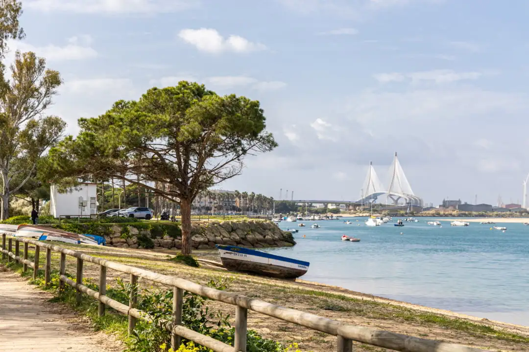
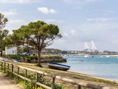
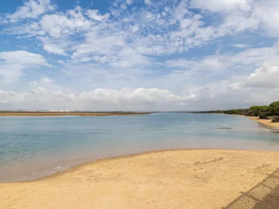
San Pedro River Beach
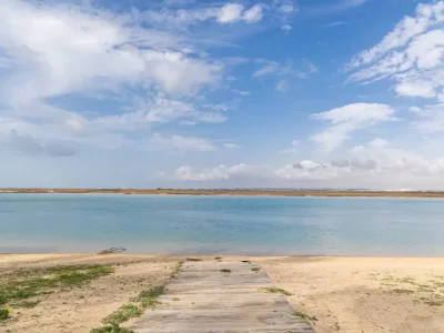
We started our adventure at the charming San Pedro River Beach. Here, cyclists can relax by the sea, enjoy the views and prepare for the ride. The beach offers a quiet atmosphere and is an excellent starting point.
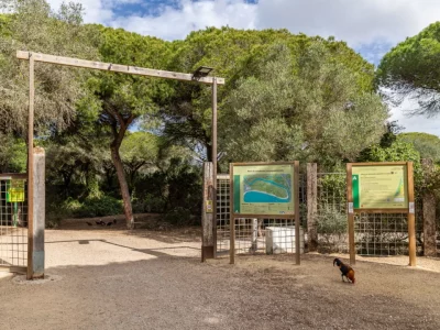
Pinar de la Algaida
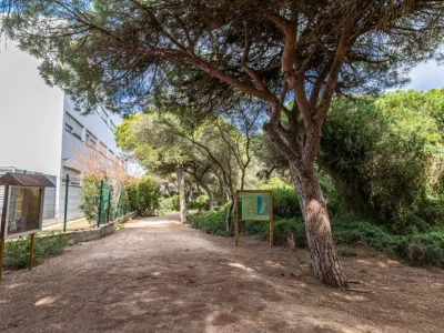
We enter the Pinar de la Algaida, a pine forest that provides shade and fresh air. Meandering trails lead through Mediterranean vegetation, with opportunities to observe birds and other wildlife. Cyclists can stop at viewpoints to appreciate the panoramic views of the bay and the surrounding area.
Los Toruños
Our route culminates in Los Toruños, a protected natural area with a great diversity of flora and fauna. Cyclists can explore the trails that wind through marshes, dunes and forests. Don’t miss the opportunity to observe migratory birds and enjoy the tranquility of the surroundings.


